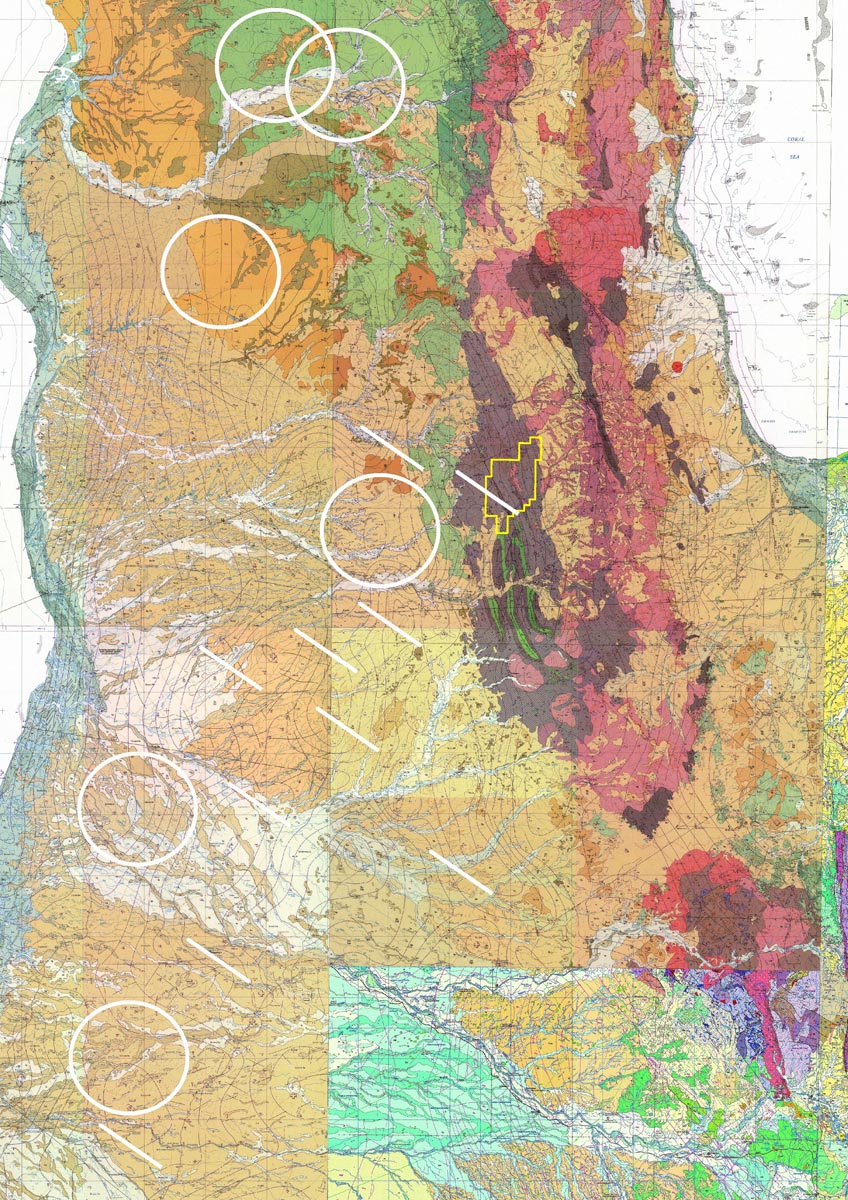
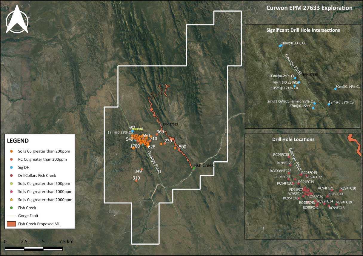
EPM 27633
Lukin River – 70 km SSW of Coen
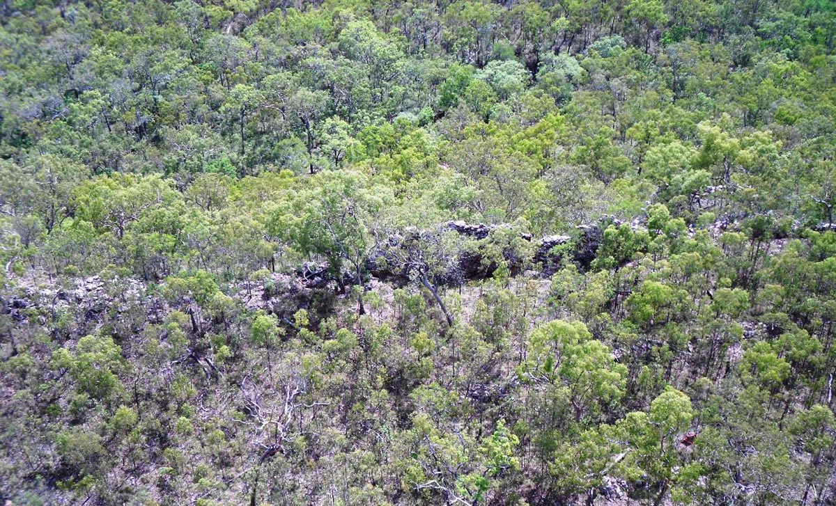
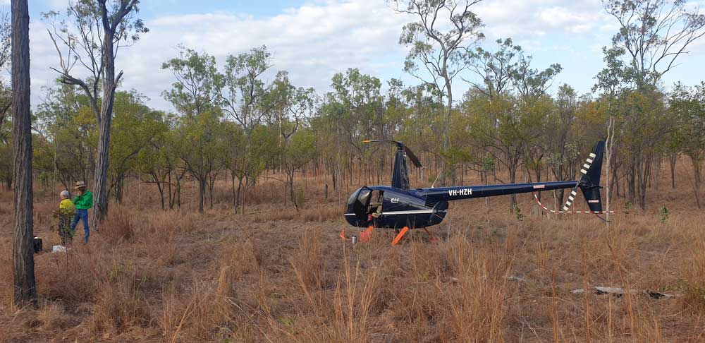
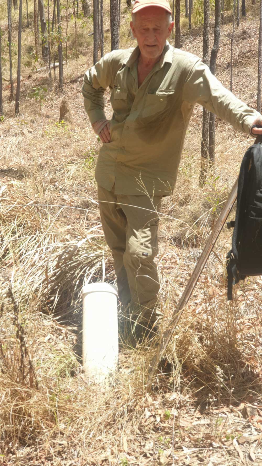
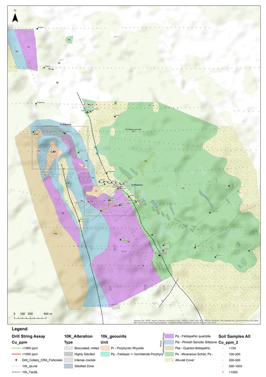
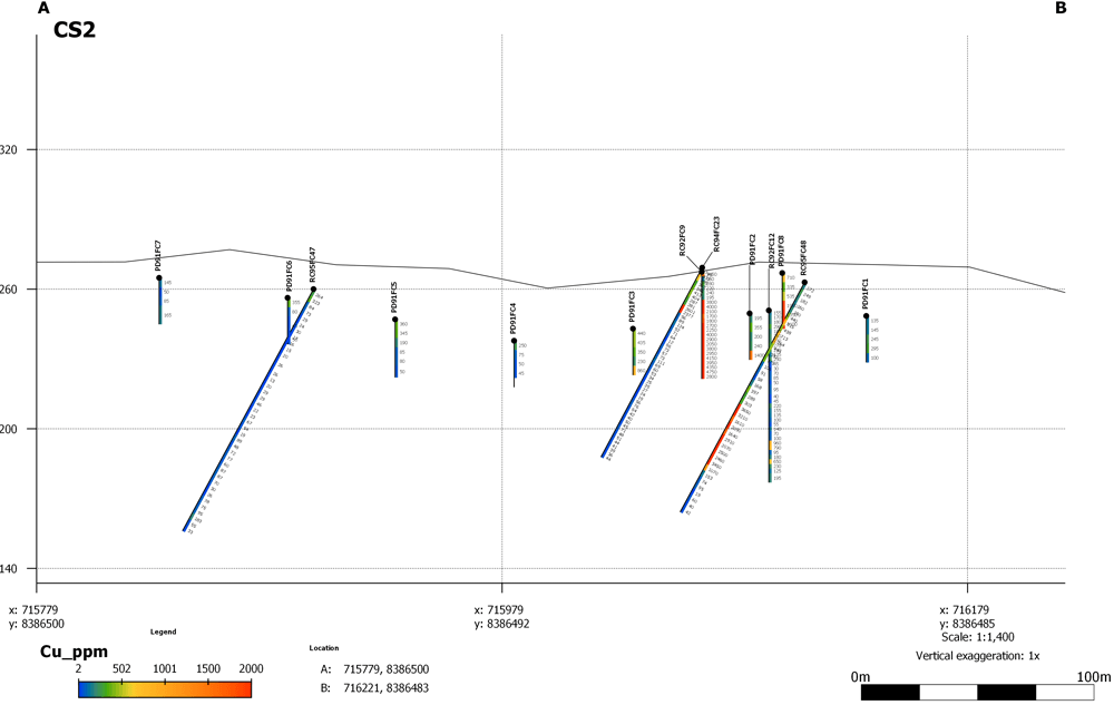
Whilst alluvial gold and heavy minerals are present, our exploration will focus on the Lukin Copper Prospect where a porphyritic rhyolite intrudes a package of metasediments. Widespread copper mineralisation has been detected in historic scout drilling over a 2 x 1.5 km area. Drill results of interest include a long intersection of 105m @ 0.21% Cu and 0.08 g/t Au occurring from51m downhole depth. This zone includes a clear hypogene interval of 12m @ 0.15g/t Au and 0.31% Cu from 96m depth in a silicified and brecciated porphyry intrusive which remains untested at depth. Other drill intersections of 58m @0.2 % Cu, 44m @ 0.23% Cu, 34m @ 0.3% Cu, and 33m @ 0.24% Cu confirm the widespread nature of the copper mineralisation.
EPM28136
Curwon Extended
Located approximately 60km west-southwest of Coen and 60 km west-north-west of Musgrave in Far North Queensland, the 98 sub-block project application area falls wholly within the Ebagoola 1:250,000 sheet area SD54-12 and straddles the Strathburn and Strathmay 1:100,000 map sheets. The area has been selected as a compliment to the groups EPM 27633 and as having further potential for both porphyry related and strata bound base metal mineralisation within the Coen Inlier metasediments.
EPM28137
Curwon Extended 2
Located approximately 92km west-southwest of Coen and 82 km west of Musgrave in Far North Queensland, the 99 sub-block project application area falls wholly within the Ebagoola 1:250,000 sheet area SD54-12 and the Strathmay 1:100,000 map sheets. The area has been selected as a compliment to the groups EPM 27633 and EPMA 28136 as having further potential for both porphyry related and strata bound base metal mineralisation within the Coen Inlier metasediments.
EPM28236
Curwon Extended 3
Located approximately 92km west-southwest of Coen and 80 km west-northwest of Musgrave in Far North Queensland, the 1– sub-block project application area falls wholly within the Ebagoola 1:250,000 sheet area SD54-12 and straddles the Strathburn and Strathmay 1:100,000 map sheets. The area has been selected as a complement to the groups EPM 27633, EPMA 28136 and EPMA 28137 as having further potential for both porphyry related and strata bound base metal mineralisation within the Coen Inlier metasediments.
EPM27632
Thornbury Gold Block and Graphite Block
EPM 27632 lies 25 km SW of Coen. Quartz reef-quartz vein structures are seen in over 2 km of strike length at Thornbury prospect and include results of 114 g/t Au in outcrop and 4m @ 35.8 g/t Au in channel sampling.
A bulk sample of 23 tonnes collected at Thornbury in the late 1980s averaged 14.3g/t Au and led to a pre-JORC indicated resource estimate of 72,800 t @ 2.75 g/t Au in northern sections of the Thornbury prospect to a nominal 30m depth. The reef, hosted in schists and gneiss remains open at depth.
Around 1991, BHP drilled a prominent regional airmag anomaly and recorded graphite in metasediments. This occurrence of graphite in drilling warrants further investigations.


